This past July, Canadian fires pushed readings to 289, and city officials ranked that event second only to June 2023. Smoke season here doesn't end when summer does.
So when you go looking for a live wildfire smoke map NYC today, skip the gray shading at first. Open a map that shows ground-level air quality, zoom to your borough or ZIP code, and let the reading closest to your home guide your plans. An orange haze over the East River and a yellow dot over your block can both be accurate at the same moment.
TL;DR Quick Answers
live wildfire smoke map NYC today
Open a live smoke map, zoom to your borough or ZIP code, and read the colored ground-level AQI circle closest to your home. That reading tells you whether your air is safe right now. The gray smoke shading often sits thousands of feet overhead, so treat it as context.
Best map: One that layers ground-level AQI, NOAA smoke plumes, and fire detections on a single screen.
Reading that matters: The circle nearest your block, since Midtown, the Bronx, and Staten Island can differ on the same day.
When to act: At AQI 101, sensitive groups stay in. At 151, everyone does.
Second opinion: NYC Health posts hourly PM2.5 readings from street-level monitors.
Indoor move: Close the windows, switch the thermostat fan from Auto to On, and run a MERV 8 filter.
Top Takeaways
Your nearest circle holds the answer. Ground-level AQI shows the air you breathe.
Plumes add context. Satellite smoke can sit far above the street.
Zoom to your borough. Readings shift across the city on the same day.
AQI 101 is your action line. Close up and run the fan, especially if someone at home is sensitive to smoke.
Smoke season runs into fall. Dry autumns bring brush fire smoke to the city too.
Which Live Map Shows Wildfire Smoke in NYC Right Now?
Most smoke maps pile three kinds of information onto one screen, and each layer answers its own question.
Ground-level air quality: Colored circles from permanent monitors and corrected sensors, shown on the AQI scale. Nothing else on the map measures air at the height you breathe.
Smoke plumes: Gray shading from NOAA's Hazard Mapping System. Analysts trace smoke on satellite images and label it light, medium, or heavy.
Fire detections: Flame icons and heat dots marking reported incidents and satellite hotspots, so you can see where the smoke started.
Your search bar asked whether the air in your area is safe right now. Only the circles can answer that. Regular HVAC maintenance can also help keep your indoor air cleaner when wildfire smoke affects NYC.
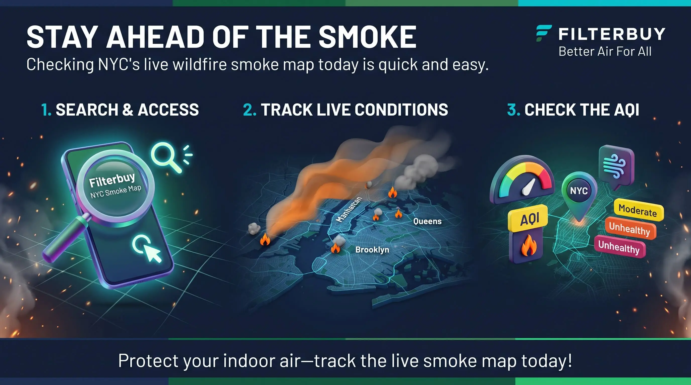
How to Check the NYC Smoke Map in 5 Steps
Here's the routine I run, and it takes about two minutes.
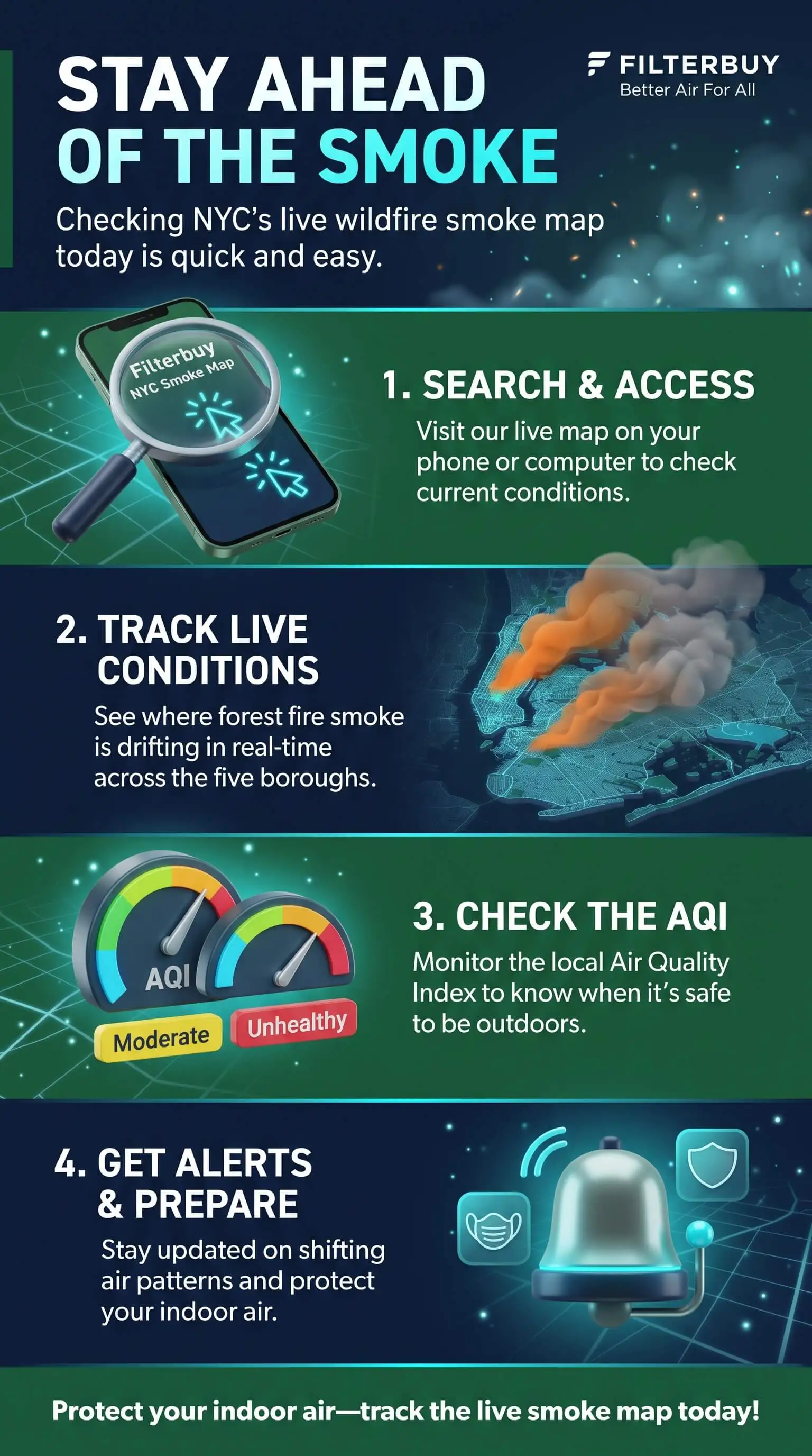
Zoom to your borough or ZIP code. A citywide number can hide your block, because Midtown, the South Bronx, and Staten Island often read differently on the same afternoon.
Turn on the smoke plume layer. Note whether NOAA marks it light, medium, or heavy, then file that away as context.
Read the circle closest to your home. That color is your answer. Green means Good, from 0 to 50, and yellow means Moderate, from 51 to 100. Orange covers 101 to 150, the range that's Unhealthy for Sensitive Groups. Red runs from 151 to 200 and counts as Unhealthy for everyone. Purple, from 201 to 300, is Very Unhealthy, and maroon starts at 301 as Hazardous.
Check a second source. NYC Health posts hourly PM2.5 readings from street-level monitors, and the New York State Department of Environmental Conservation (DEC) publishes the regional AQI forecast. When both point the same way, act on it.
Set an alert. Notify NYC, the city's free alert service, sends air quality notices straight to your phone. Text your ZIP code to 692692 to sign up.
Why the Map and the Sky Over NYC Can Disagree
Here's something that might surprise you. A heavy plume on the map doesn't always mean bad air on your street, and a clear map doesn't always mean clean air.
Smoke often travels high. Satellites spot smoke anywhere in the air column, and researchers have tracked smoke plumes from large wildfires for more than 1,000 miles. Plenty of it drifts thousands of feet above Manhattan and never reaches the sidewalk.
The plume layer runs behind. NOAA usually posts its first smoke analysis between 11 a.m. and noon Eastern and a second one between 7 and 8 p.m. Its analysts can't trace smoke at night or through cloud cover.
Particle readings smooth out spikes. The AQI for fine particles blends several recent hours, so a plume that rolls in fast can smell worse than the number looks for a while.
Small local fires can slip past the satellite. Smoke from a brush fire in Van Cortlandt Park or Marine Park may stay too low or too thin to register as a plume. Check the nearest circle anyway.
What Today's Reading Means for the Air Inside Your Home
Don't take your indoor air for granted when the map turns orange! Fine particles work their way in through window gaps, drafty prewar walls, and fresh-air vents. Here's exactly what to do inside.
At AQI 101 and up: Children, older adults, and anyone with asthma, COPD, or heart disease should spend less time outdoors. Close your windows and doors.
Keep air moving through the filter: Switch the thermostat fan from Auto to On and set your system to recirculate. If you cool with a window unit, close its outside-air vent.
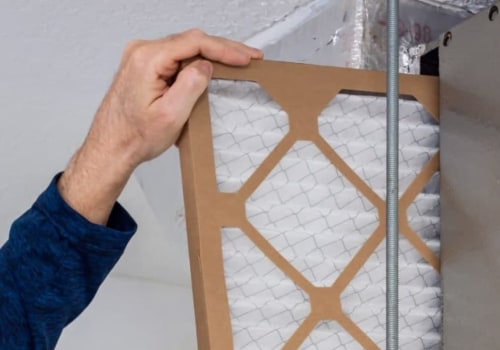
Upgrade the filter: Install a MERV 13 filter, or the highest rating your system can handle.
At AQI 151 and up: Everyone should limit time outside. Run a portable HEPA air cleaner in the bedroom or whichever room your family uses most.
Pro Tip: When a smoky week ends, pull your filter and look at it. Gray or brown means swap it now, even if the date on the package says you have weeks left. A before, during, and after routine like this travels well to other cities too, as this Denver air quality guide shows.
"I've spent years watching particle data across the five boroughs, and the street-level monitors in Midtown and the South Bronx often turn orange an hour or more before the regional plume layer changes. It happens most on still mornings, when smoke settles in between tall buildings and has nowhere to go. My advice to New Yorkers is to check the number nearest your block first and use the haze overhead as a hint about what might come next."
7 Essential Resources
Live Wildfire Smoke Map for New York City: Fire, smoke, and AQI layers for all five boroughs, plus tips for keeping smoke out of your home.
AirNow: How To Use the Fire and Smoke Map: The official walkthrough for circles, plumes, fire icons, and trend markers.
NYC Health: Real-Time Air Quality: Hourly PM2.5 readings from street-level monitors around the city.
NYS DEC: Air Quality Index Forecast and Current Observations: Daily AQI forecasts for each of the state's health advisory regions.
NOAA Hazard Mapping System Fire and Smoke Product: The source of the satellite plume layer, with its update schedule.
NASA Earthdata: FIRMS US/Canada Active Fire Mapping: How satellite fire detections reach the map, usually within about three hours.
CDC: Wildfire Smoke and People With Chronic Conditions: Planning steps for households managing asthma, COPD, or heart disease.
3 Supporting Statistics
Closed doors and windows only get you partway. With no air cleaner running, indoor PM2.5 typically stays at 55 to 60 percent of outdoor levels during smoke events, and a high-efficiency HVAC filter with the fan running nonstop can cut that by about half. U.S. Environmental Protection Agency
The 2026 State of the Air report ranked the New York-Newark metro 12th worst in the nation for ozone and 69th worst for short-term particle pollution. Queens County averaged 2.8 unhealthy particle days a year. American Lung Association
HVAC filters rated MERV 12 or higher can reduce indoor PM2.5 by up to 87 percent, according to a 2025 review, while HEPA filters reduce it by 54 to 92 percent. PubMed Central Review on Wildfire PM2.5
During wildfire smoke events in NYC, indoor PM2.5 pollution can remain high even with windows closed. Using top air filters with high-efficiency MERV ratings, along with proper ventilation settings, can help reduce smoke particles indoors and improve air quality.
Final Thoughts and Opinion
Here's my honest opinion. New Yorkers have gotten good at reading the sky, and the sky makes a lousy smoke gauge. Twice in the past two years, the city's worst air arrived when few people saw it coming, once during a bone-dry November and again in the middle of a July heat wave. Checking the ground-level reading near your home takes less time than checking whether your train is running. Keep the windows shut and the fan pushing air through a filter built for fine particles, and you'll be the hero of your household on the days the haze rolls in.
Frequently Asked Questions
Is There Wildfire Smoke in NYC Today?
Check the ground-level reading nearest your home on a live smoke map, because conditions can change within a few hours. Canadian fires drive most summer smoke events. Spring and fall brush fires around the region bring shorter, more local episodes.
Which Live Map Is Most Accurate for My Borough?
Start with a map that combines official monitors with corrected sensors, since it gives you the widest coverage. For neighborhood detail, NYC Health posts hourly PM2.5 from street-level monitors, and those readings can catch spikes that a regional view smooths over.
Why Does the Map Show Heavy Smoke When the AQI Looks Fine?
The plume layer shows smoke anywhere overhead, often thousands of feet up. A green or yellow circle near you means most of that smoke hasn't reached street level. Keep an eye on it, because smoke can mix down later in the day.
How Often Does the NYC Smoke Map Update?
Ground-level monitors and sensors refresh about once an hour. NOAA posts its satellite smoke analyses in the late morning and again in the evening, Eastern time, and satellite fire detections usually show up within a few hours.
What AQI Level Is Unsafe for Kids or People With Asthma?
Once the AQI reaches 101, children, older adults, and people with asthma, COPD, or heart disease should limit time outdoors. At 151 and above, that advice covers everyone, and keeping indoor air filtered matters most.
Can Wildfire Smoke Really Reach NYC From Canada?
Yes. Smoke from large fires can ride upper-level winds for more than 1,000 miles. Fires in Ontario and Quebec have pushed New York City into unhealthy air several summers in a row this way.
Check the Smoke Map Before You Step Outside
Checking a live wildfire smoke map for NYC today takes about two minutes once you know to start with the ground-level circle. Put it in your morning routine right next to the weather forecast, and keep your windows and filter ready for the days the color changes. Proper insulation installation can also help reduce gaps where outdoor smoke may enter your home.